


Gps Area Measurement Gps Area Measurement
Category
Maps & NavigationVersion
V1.0.52
Tag
gps | app | measuring
Rate
2.90
★★★★★
Reviews
500 +
Installs
1M +
Developer
Unknown
Content Rating
Everyone
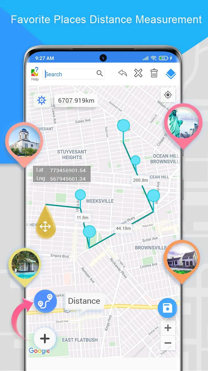
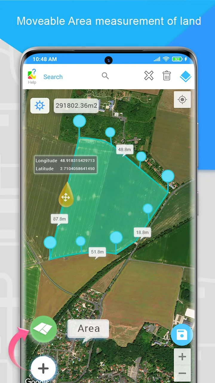
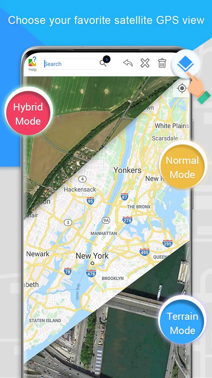
Measure land areas quickly and accurately with GPS-based features.
 2.90
2.90 Advertisements
Advertisements
Author's Review
appspicked Review
Advertisements
Advertisements
Screenshots
Additional Information
Category
Maps & NavigationVersion
V1.0.52
Tag
gps | app | measuring
Rate
2.90
★★★★★
Reviews
500 +
Installs
1M +
Developer
Unknown
Content Rating
Everyone
Measure land areas quickly and accurately with GPS-based features.
Previous Versions
ZIP files require a Split APKs Installer (e.g., SAI) from Google Play to install. Steps: 1. Download SAI from Google Play; 2. Open SAI and tap "Install APKs"; 3. Select the ZIP file; 4. Complete installation.
V1.0.52

Package Name
star.gps.area.mapsmeasure
Version Name
V1.0.52
Version Code
V1.0.52
File Size
8.18 MB
Update time
2023-12-14
V1.0.45
Package Name
star.gps.area.mapsmeasure
Version Name
V1.0.45
Version Code
V1.0.45
File Size
12.23 MB
Update time
2023-7-26
V1.0.44
Package Name
star.gps.area.mapsmeasure
Version Name
V1.0.44
Version Code
V1.0.44
File Size
10.25 MB
Update time
2023-7-3
V1.0.43
Package Name
star.gps.area.mapsmeasure
Version Name
V1.0.43
Version Code
V1.0.43
File Size
10.3 MB
Update time
2023-6-26
V1.0.40
Package Name
star.gps.area.mapsmeasure
Version Name
V1.0.40
Version Code
V1.0.40
File Size
9.61 MB
Update time
2023-5-5
V1.0.36
Package Name
star.gps.area.mapsmeasure
Version Name
V1.0.36
Version Code
V1.0.36
File Size
9.46 MB
Update time
2022-8-25
You Might Like


Advertisements