


onX Backcountry Trail Maps GPS onX Backcountry Trail Maps GPS
Category
SportsVersion
V24.8.0
Tag
hike | hiking | trails
Rate
4.30
★★★★★
Reviews
500 +
Installs
500k +
Developer
onXmaps
Content Rating
Everyone
Discover hiking, biking & skiing adventures with GPS, 3D maps & guidebooks.
 4.30
4.30 Advertisements
Advertisements
Author's Review
appspicked Review
Advertisements
Advertisements
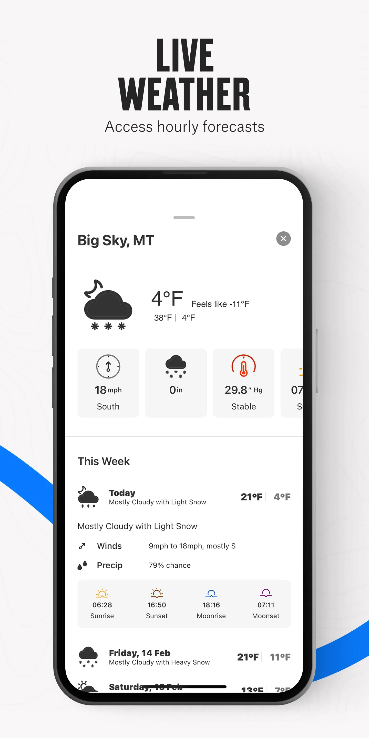
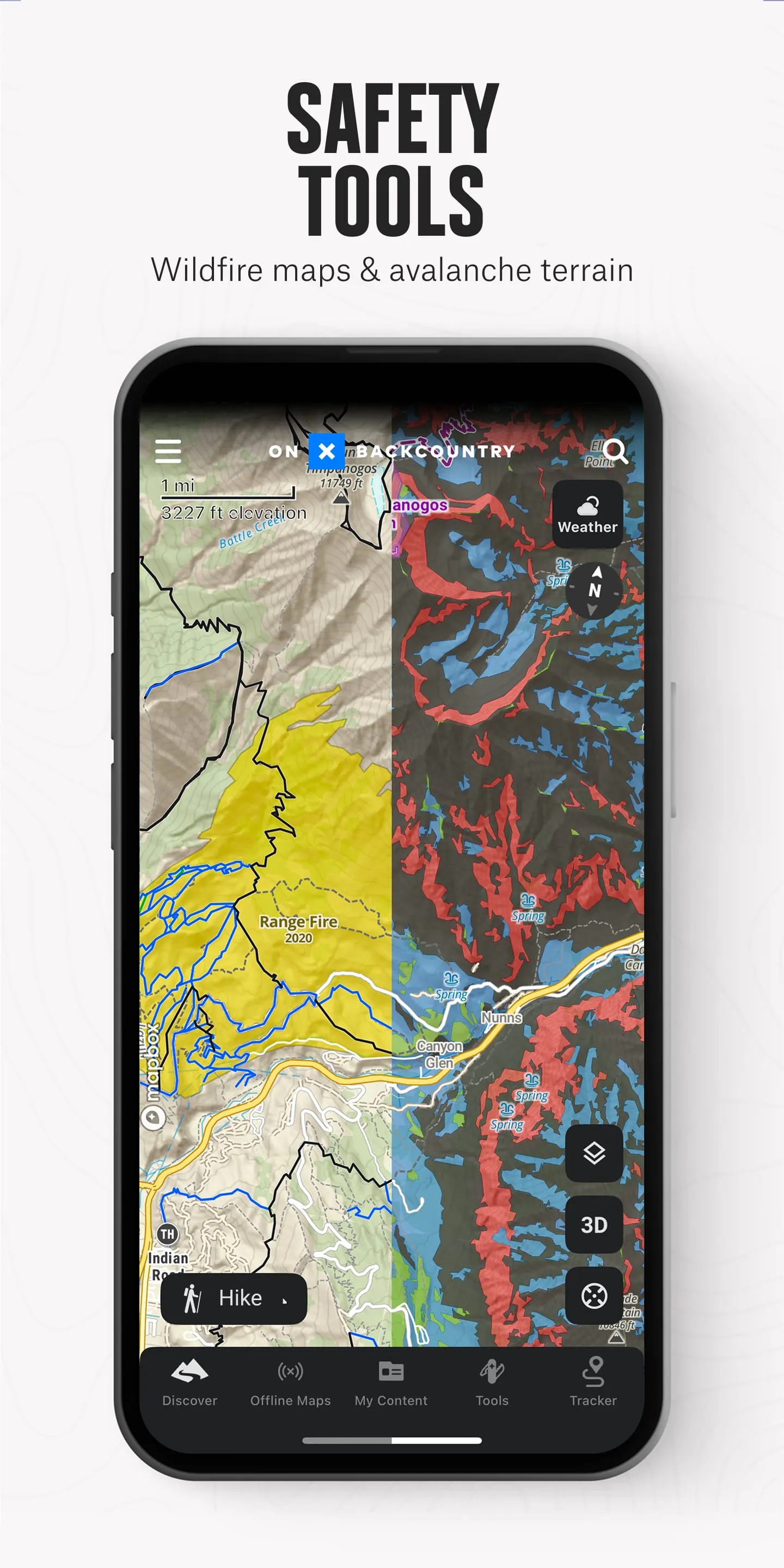
Screenshots


Additional Information
Category
SportsVersion
V24.8.0
Tag
hike | hiking | trails
Rate
4.30
★★★★★
Reviews
500 +
Installs
500k +
Developer
onXmaps
Content Rating
Everyone
Discover hiking, biking & skiing adventures with GPS, 3D maps & guidebooks.
Previous Versions
ZIP files require a Split APKs Installer (e.g., SAI) from Google Play to install. Steps: 1. Download SAI from Google Play; 2. Open SAI and tap "Install APKs"; 3. Select the ZIP file; 4. Complete installation.
V24.8.0

Package Name
onxmaps.backcountry
Version Name
V24.8.0
Version Code
V24.8.0
File Size
182.72 MB
Update time
2024-3-4
V23.48.3
Package Name
onxmaps.backcountry
Version Name
V23.48.3
Version Code
V23.48.3
File Size
178.9 MB
Update time
2023-12-20
V23.40.0
Package Name
onxmaps.backcountry
Version Name
V23.40.0
Version Code
V23.40.0
File Size
153.93 MB
Update time
2023-10-6
V23.28.0
Package Name
onxmaps.backcountry
Version Name
V23.28.0
Version Code
V23.28.0
File Size
147.21 MB
Update time
2023-7-20
V23.24.0
Package Name
onxmaps.backcountry
Version Name
V23.24.0
Version Code
V23.24.0
File Size
144.37 MB
Update time
2023-6-27
V23.22.0
Package Name
onxmaps.backcountry
Version Name
V23.22.0
Version Code
V23.22.0
File Size
137.1 MB
Update time
2023-6-24
V23.20.0
Package Name
onxmaps.backcountry
Version Name
V23.20.0
Version Code
V23.20.0
File Size
136.71 MB
Update time
2023-5-30
V22.46.1
Package Name
onxmaps.backcountry
Version Name
V22.46.1
Version Code
V22.46.1
File Size
135.19 MB
Update time
2022-12-8
You Might Like


Advertisements