


Live Earth Map HD Live Earth Map HD
Category
Maps & NavigationVersion
V2.8.26
Tag
gps | view | satellite
Rate
3.60
★★★★★
Reviews
500 +
Installs
10M +
Developer
Appify Store
Content Rating
Everyone
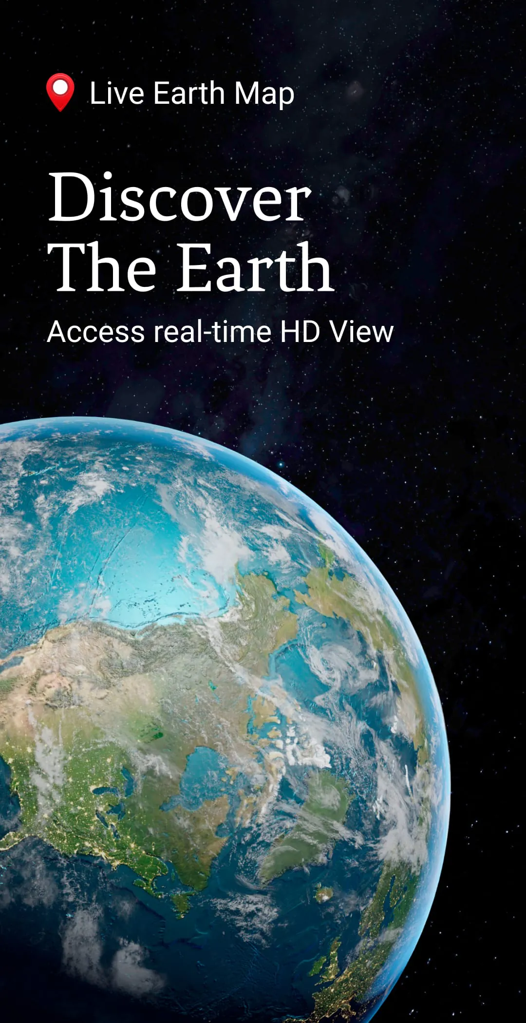
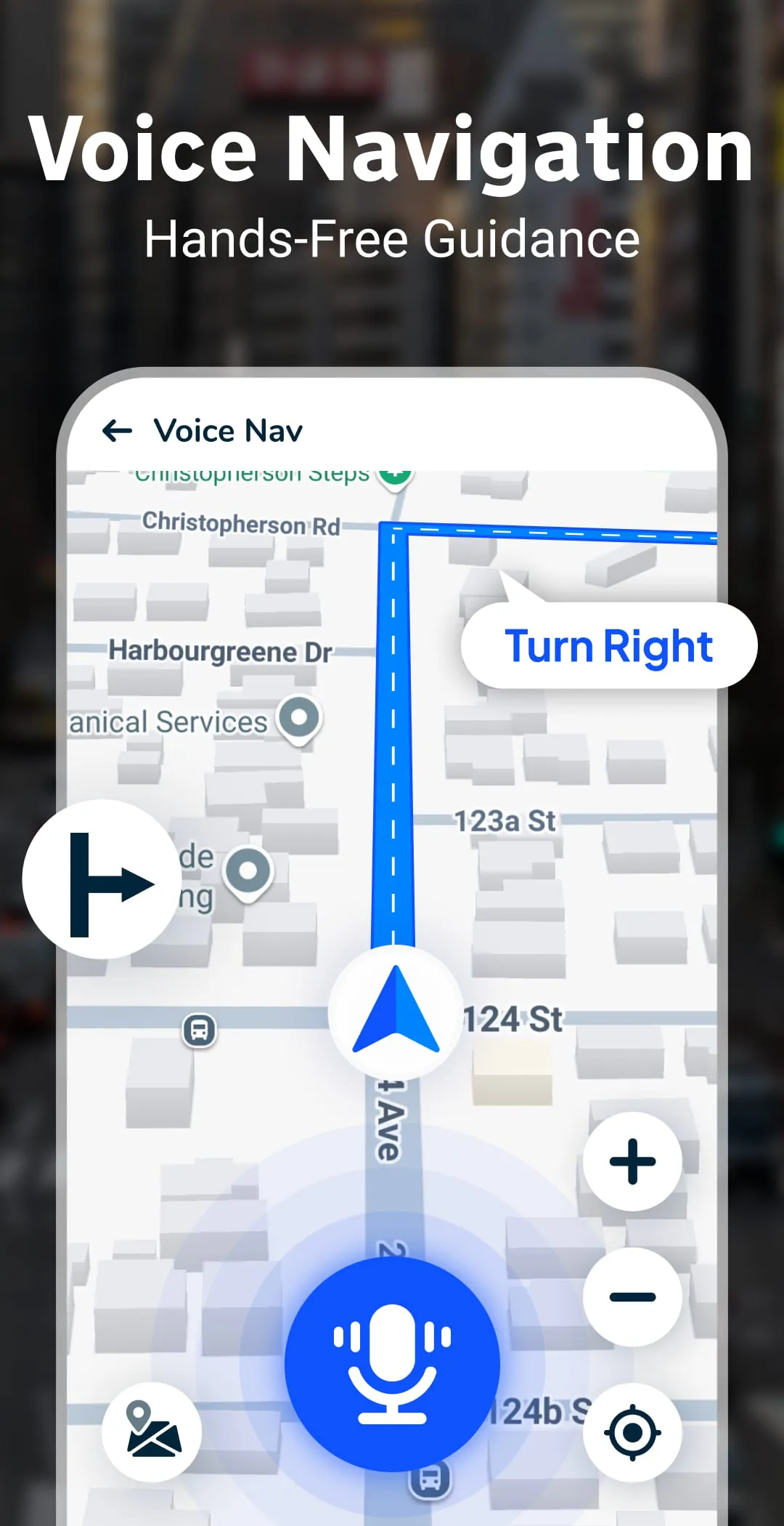
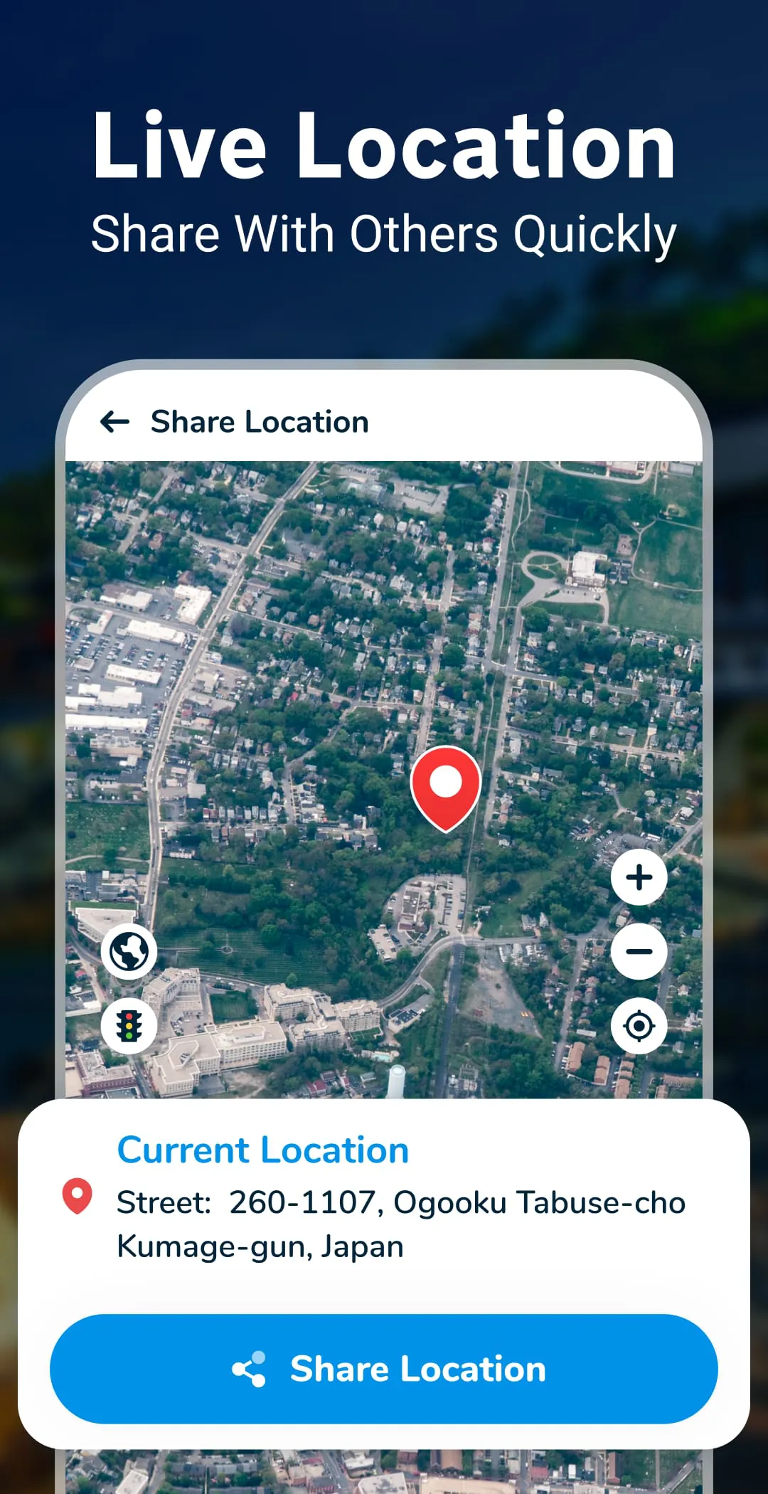
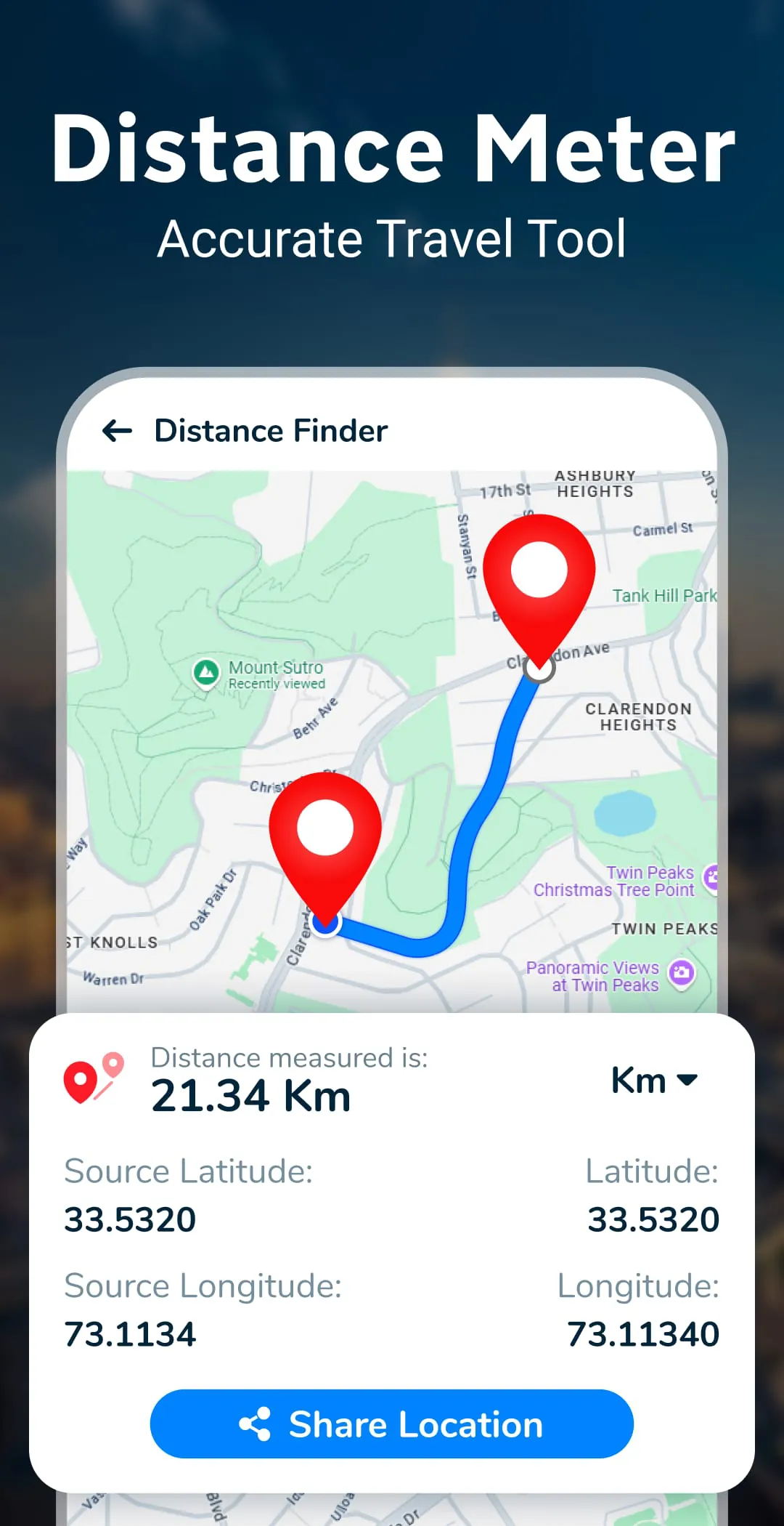
Let’s have a live tour of World Famous Places in 3D & 360° with Live Earth Map
 3.60
3.60 Advertisements
Advertisements
Author's Review
appspicked Review
Advertisements
Advertisements
Screenshots
Additional Information
Category
Maps & NavigationVersion
V2.8.26
Tag
gps | view | satellite
Rate
3.60
★★★★★
Reviews
500 +
Installs
10M +
Developer
Appify Store
Content Rating
Everyone
Let’s have a live tour of World Famous Places in 3D & 360° with Live Earth Map
Previous Versions
ZIP files require a Split APKs Installer (e.g., SAI) from Google Play to install. Steps: 1. Download SAI from Google Play; 2. Open SAI and tap "Install APKs"; 3. Select the ZIP file; 4. Complete installation.
V2.8.26

Package Name
liveearthmap.liveearthcam.livestreetview
Version Name
V2.8.26
Version Code
V2.8.26
File Size
7.11 MB
Update time
2024-3-3
V2.8.24
Package Name
liveearthmap.liveearthcam.livestreetview
Version Name
V2.8.24
Version Code
V2.8.24
File Size
8.74 MB
Update time
2024-1-9
V2.8.20
Package Name
liveearthmap.liveearthcam.livestreetview
Version Name
V2.8.20
Version Code
V2.8.20
File Size
8.73 MB
Update time
2023-9-13
V2.8.18
Package Name
liveearthmap.liveearthcam.livestreetview
Version Name
V2.8.18
Version Code
V2.8.18
File Size
8.56 MB
Update time
2023-6-26
V2.8.17
Package Name
liveearthmap.liveearthcam.livestreetview
Version Name
V2.8.17
Version Code
V2.8.17
File Size
8.14 MB
Update time
2023-5-22
V2.8.16
Package Name
liveearthmap.liveearthcam.livestreetview
Version Name
V2.8.16
Version Code
V2.8.16
File Size
8.11 MB
Update time
2022-11-30
V2.8.15
Package Name
liveearthmap.liveearthcam.livestreetview
Version Name
V2.8.15
Version Code
V2.8.15
File Size
8.5 MB
Update time
2022-7-26
You Might Like


Advertisements