


Ling Ling
Category
Maps & NavigationVersion
V6.5.11
Tag
maps | lingmaps | ling
Rate
4.90
★★★★★
Reviews
500 +
Installs
5M +
Developer
L I N G Company Limited
Content Rating
Everyone
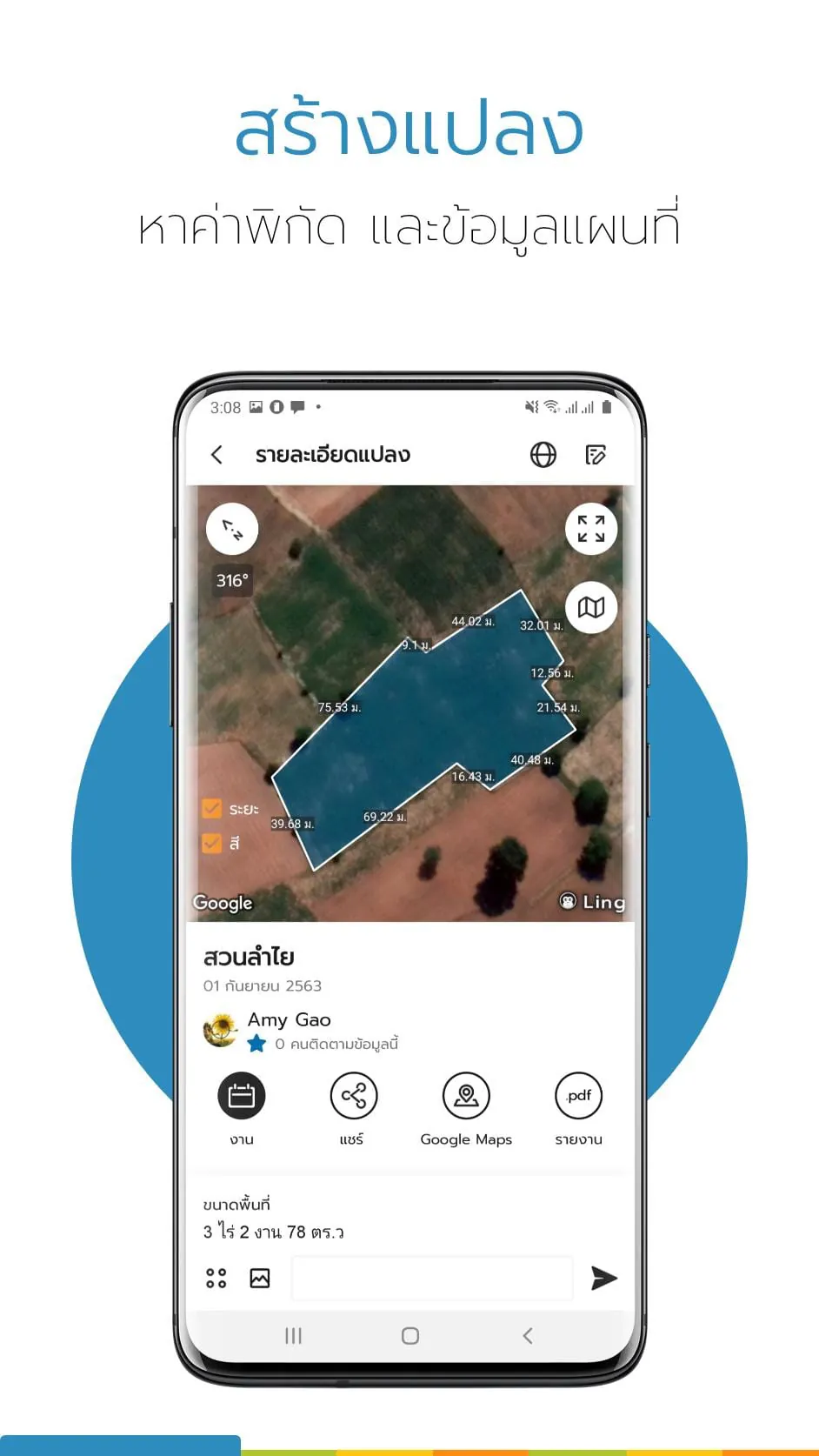
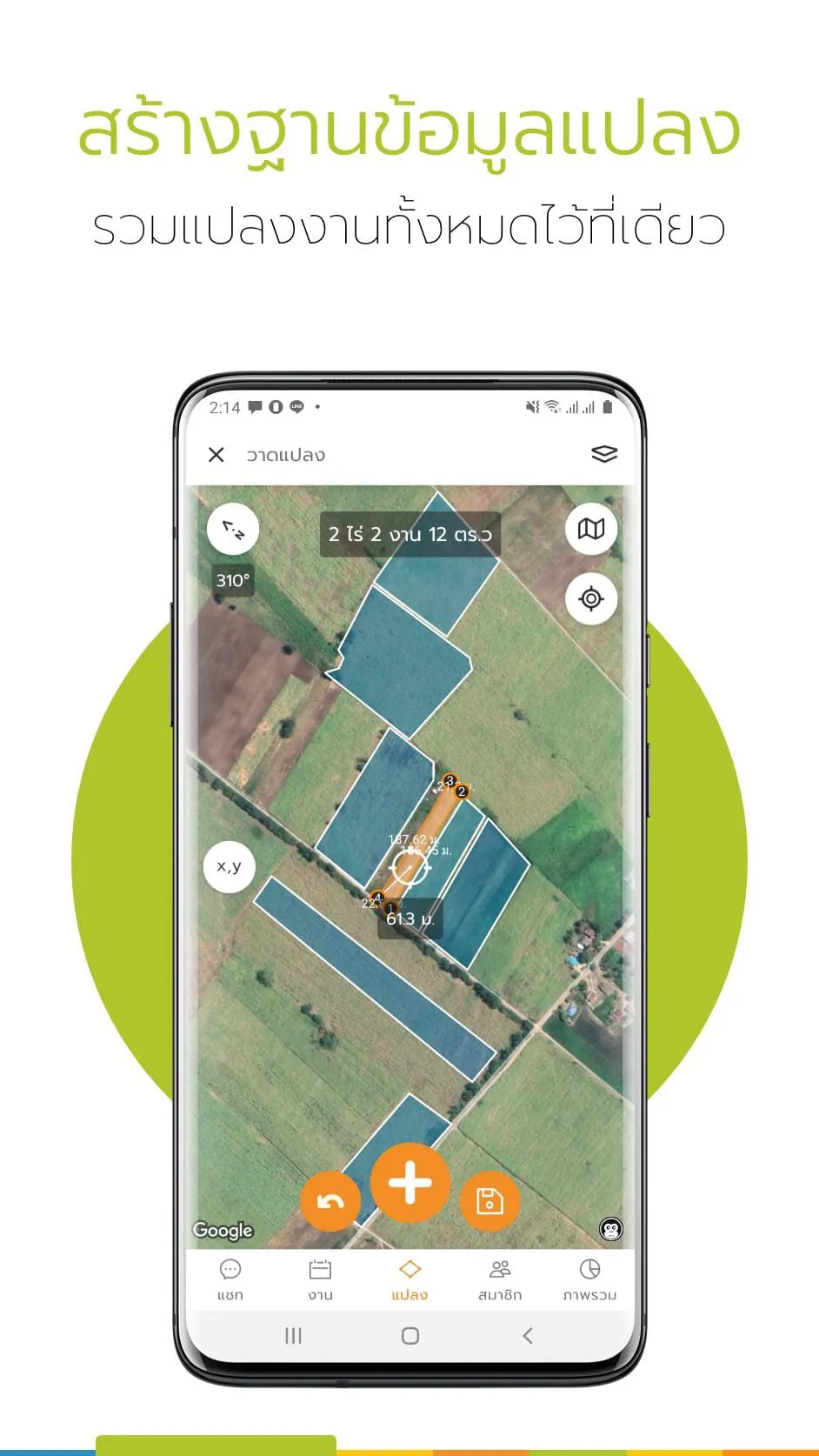
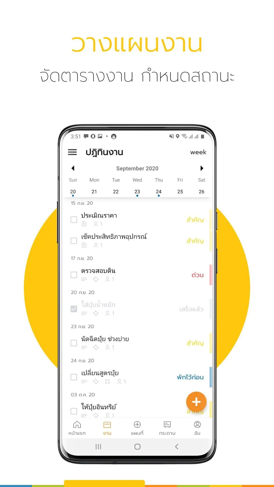
An app that helps to plan, manage, work, collaborate, display data, maps, coordinates
 4.90
4.90 Advertisements
Advertisements
Author's Review
appspicked Review
Advertisements
Advertisements
Screenshots

Additional Information
Category
Maps & NavigationVersion
V6.5.11
Tag
maps | lingmaps | ling
Rate
4.90
★★★★★
Reviews
500 +
Installs
5M +
Developer
L I N G Company Limited
Content Rating
Everyone
An app that helps to plan, manage, work, collaborate, display data, maps, coordinates
Previous Versions
ZIP files require a Split APKs Installer (e.g., SAI) from Google Play to install. Steps: 1. Download SAI from Google Play; 2. Open SAI and tap "Install APKs"; 3. Select the ZIP file; 4. Complete installation.
V6.5.11

Package Name
com.tig_gis.ling
Version Name
V6.5.11
Version Code
V6.5.11
File Size
23.01 MB
Update time
2023-11-5
You Might Like


Advertisements