


Trucker Path Trucker Path
Category
Maps & NavigationVersion
V5.6.9
Tag
gps | trucking | garmin
Rate
4.80
★★★★★
Reviews
500 +
Installs
1M +
Developer
Trucker Path
Content Rating
Everyone
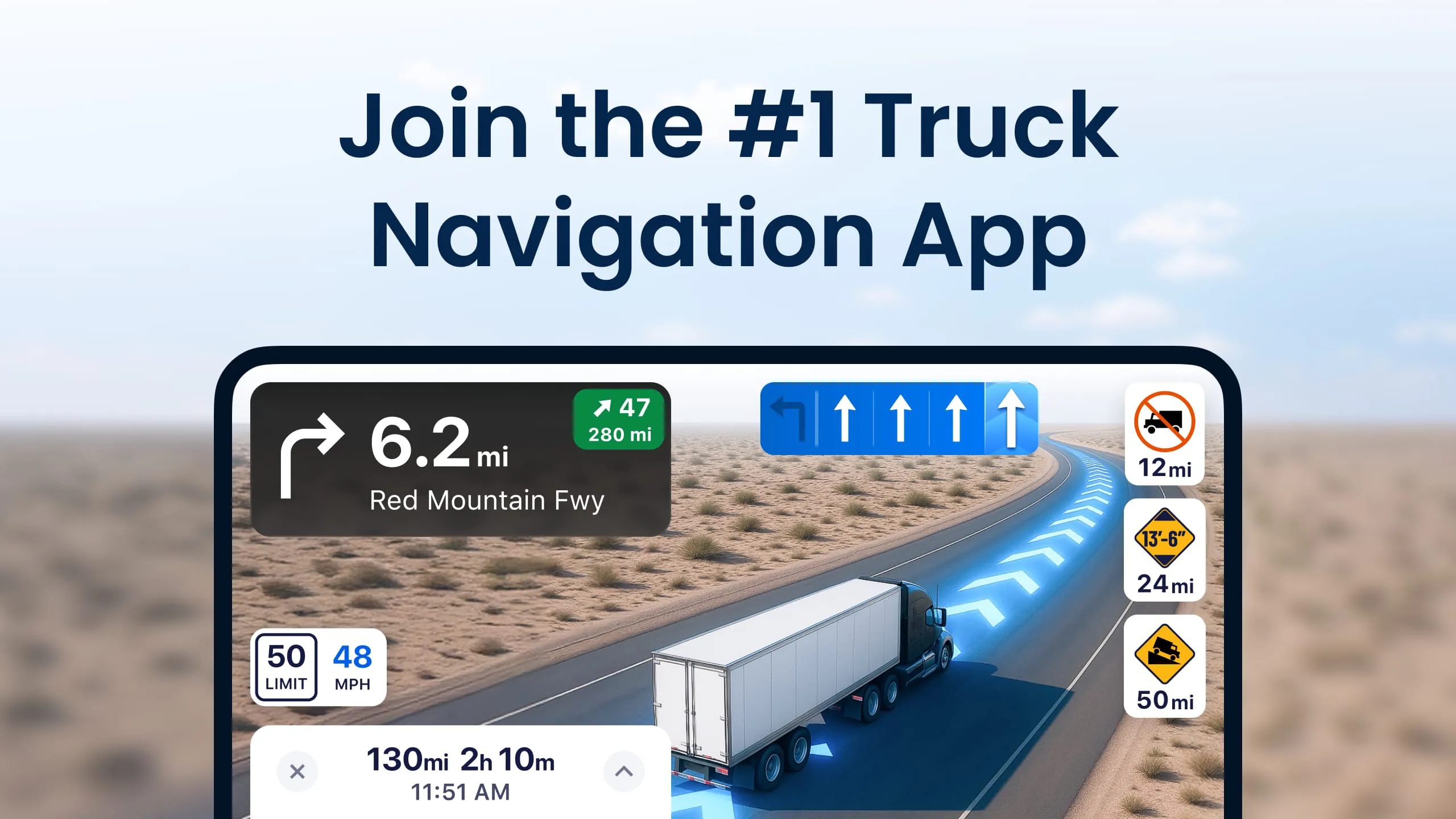
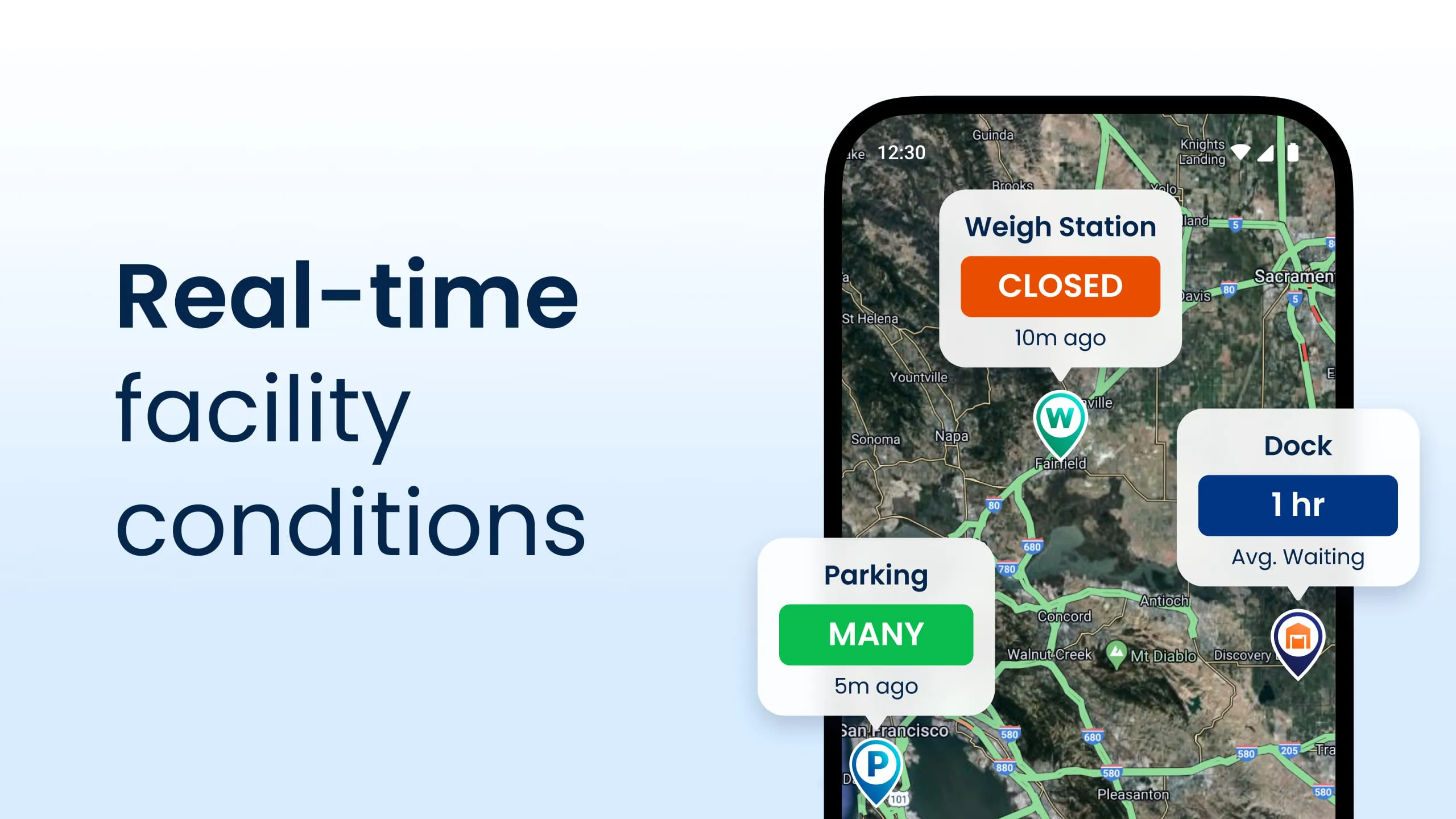
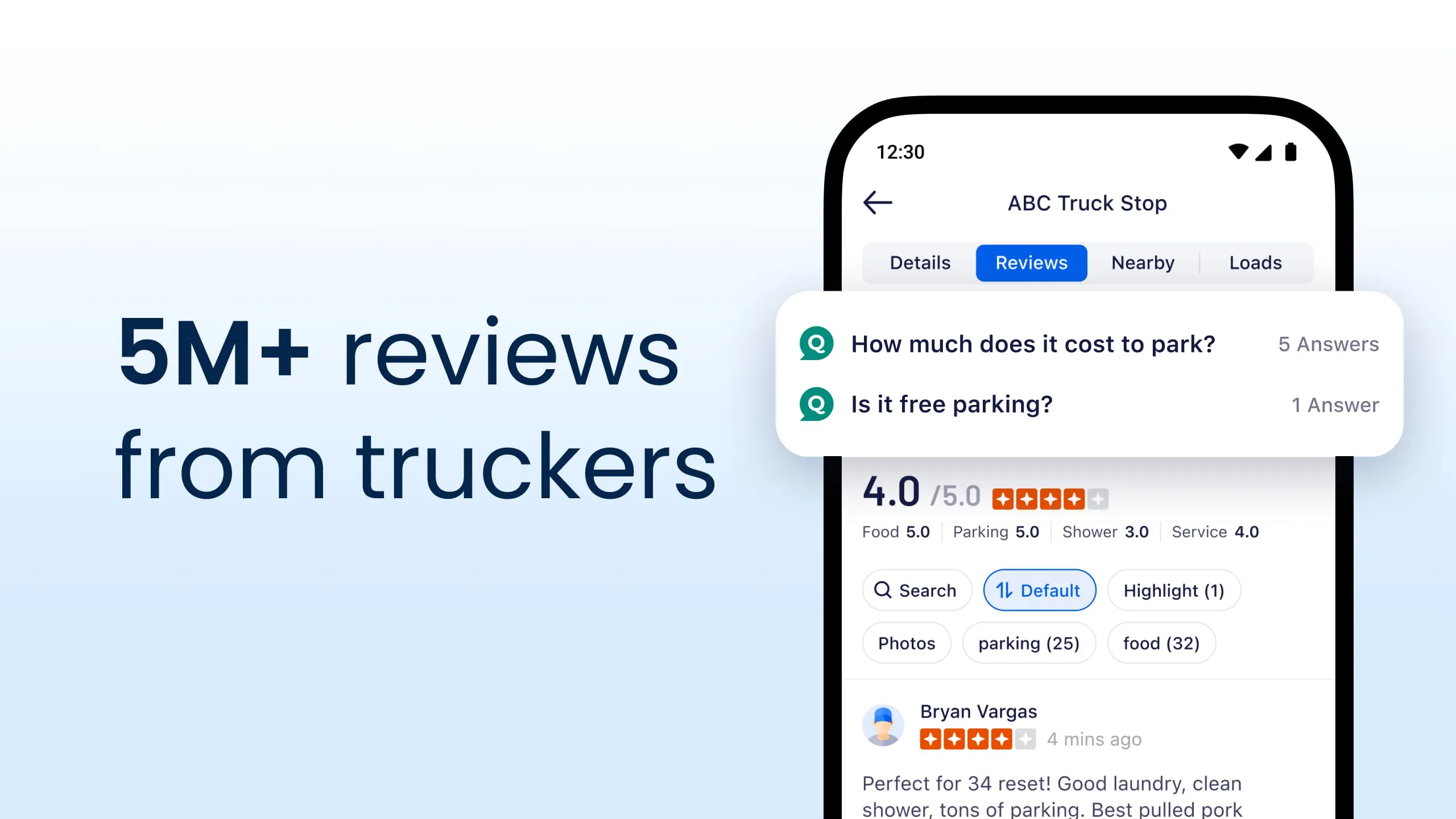
Truck Safe GPS Navigation & Maps: Parking, Fuel, Diesel, Weight Station
 4.80
4.80 Advertisements
Advertisements
Author's Review
appspicked Review
Advertisements
Advertisements
Screenshots

Additional Information
Category
Maps & NavigationVersion
V5.6.9
Tag
gps | trucking | garmin
Rate
4.80
★★★★★
Reviews
500 +
Installs
1M +
Developer
Trucker Path
Content Rating
Everyone
Truck Safe GPS Navigation & Maps: Parking, Fuel, Diesel, Weight Station
Previous Versions
ZIP files require a Split APKs Installer (e.g., SAI) from Google Play to install. Steps: 1. Download SAI from Google Play; 2. Open SAI and tap "Install APKs"; 3. Select the ZIP file; 4. Complete installation.
V5.6.9

Package Name
com.sixdays.truckerpath
Version Name
V5.6.9
Version Code
V5.6.9
File Size
297.08 MB
Update time
2022-11-28
You Might Like


Advertisements