


GPS Map Camera GPS Map Camera
Category
PhotographyVersion
V1.9.4
Tag
gps | Geotagging | geotagged
Rate
3.20
★★★★★
Reviews
500 +
Installs
100M +
Developer
GPS Map Camera
Content Rating
Everyone
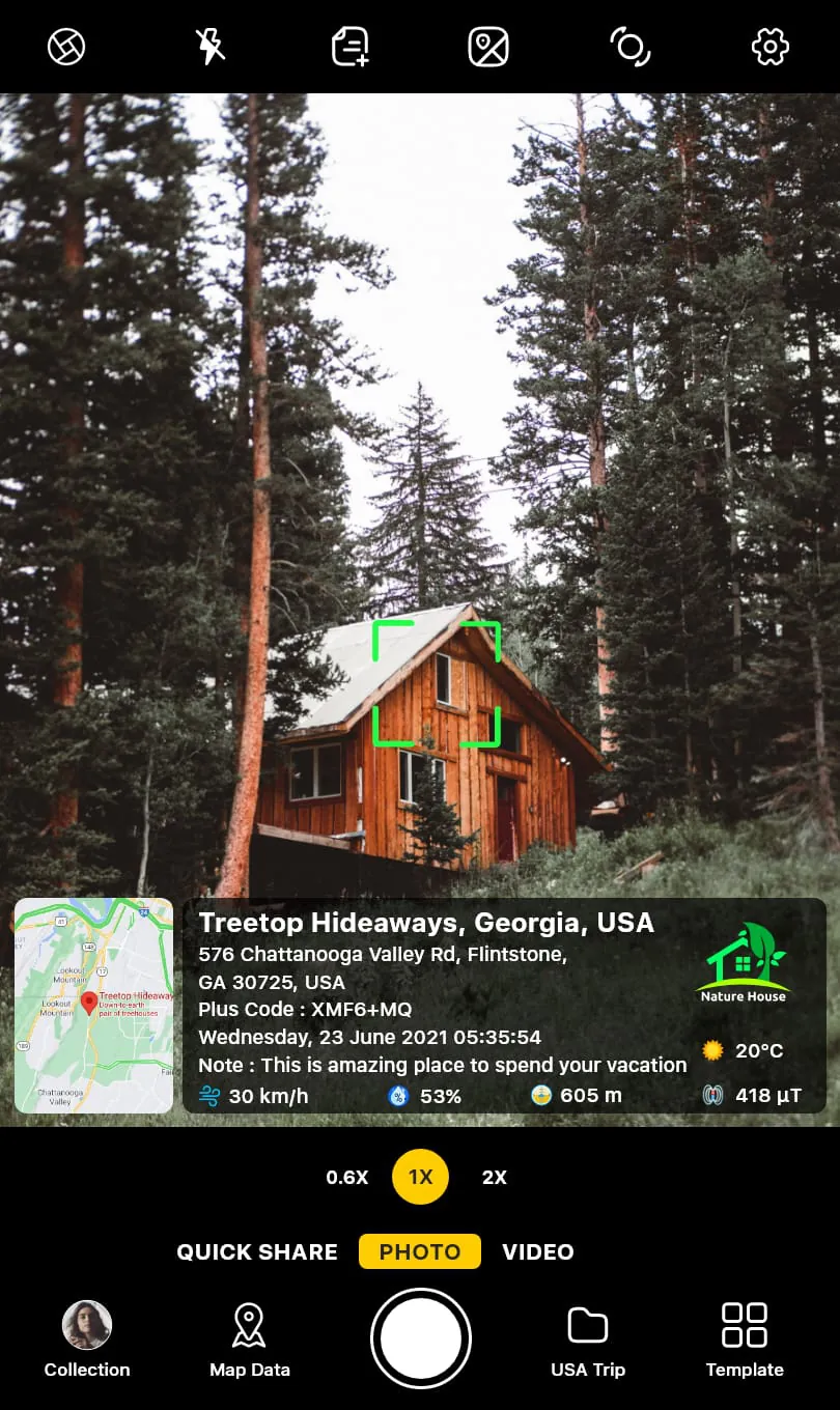
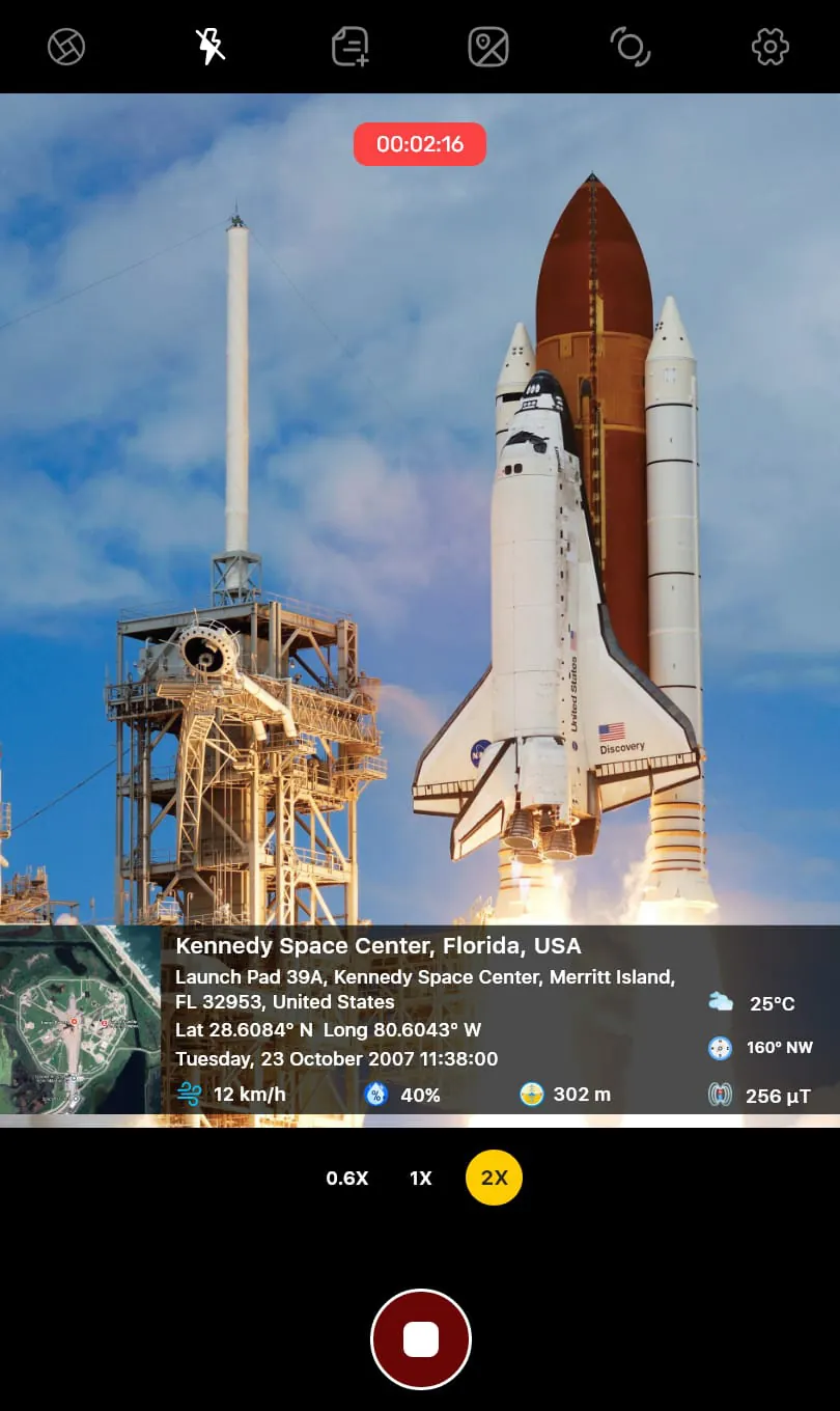
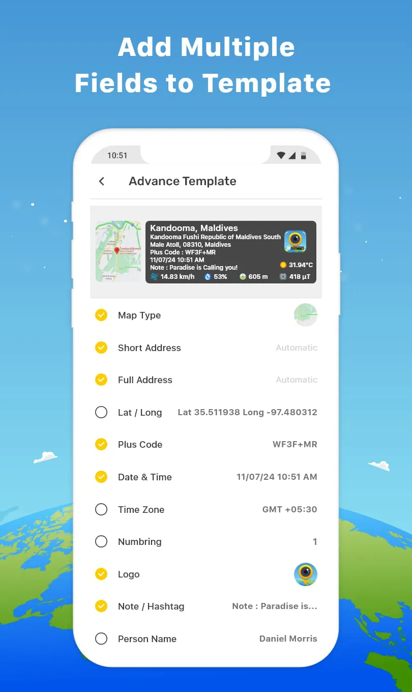
A Camera add GPS coords, address & timestamp to photo—geocaching, tramping, work
 3.20
3.20 Advertisements
Advertisements
Author's Review
appspicked Review
Advertisements
Advertisements
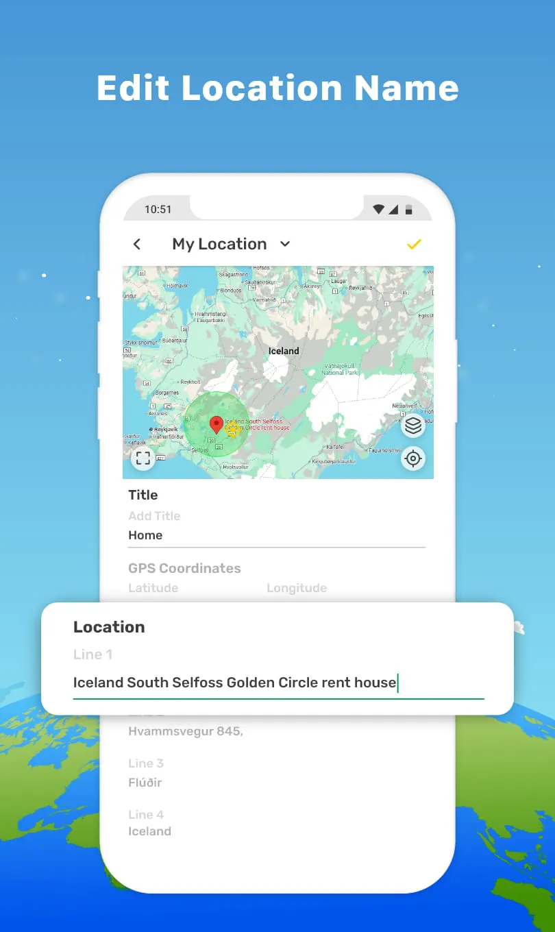
Screenshots
Additional Information
Category
PhotographyVersion
V1.9.4
Tag
gps | Geotagging | geotagged
Rate
3.20
★★★★★
Reviews
500 +
Installs
100M +
Developer
GPS Map Camera
Content Rating
Everyone
A Camera add GPS coords, address & timestamp to photo—geocaching, tramping, work
Previous Versions
ZIP files require a Split APKs Installer (e.g., SAI) from Google Play to install. Steps: 1. Download SAI from Google Play; 2. Open SAI and tap "Install APKs"; 3. Select the ZIP file; 4. Complete installation.
V1.9.4

Package Name
com.gpsmapcamera.geotagginglocationonphoto
Version Name
V1.9.4
Version Code
V1.9.4
File Size
30.06 MB
Update time
2026-1-6
You Might Like


Advertisements