ArcGIS Earth is a versatile application that can be used on iOS, Android, and Windows platforms. It provides users with access to content, tools, and analysis, whether they are online or offline. The application is designed to be user-friendly and provides a consistent experience across desktop and mobile environments. It is also adaptable to many collaborative scenarios, making it a valuable tool for a wide range of users.
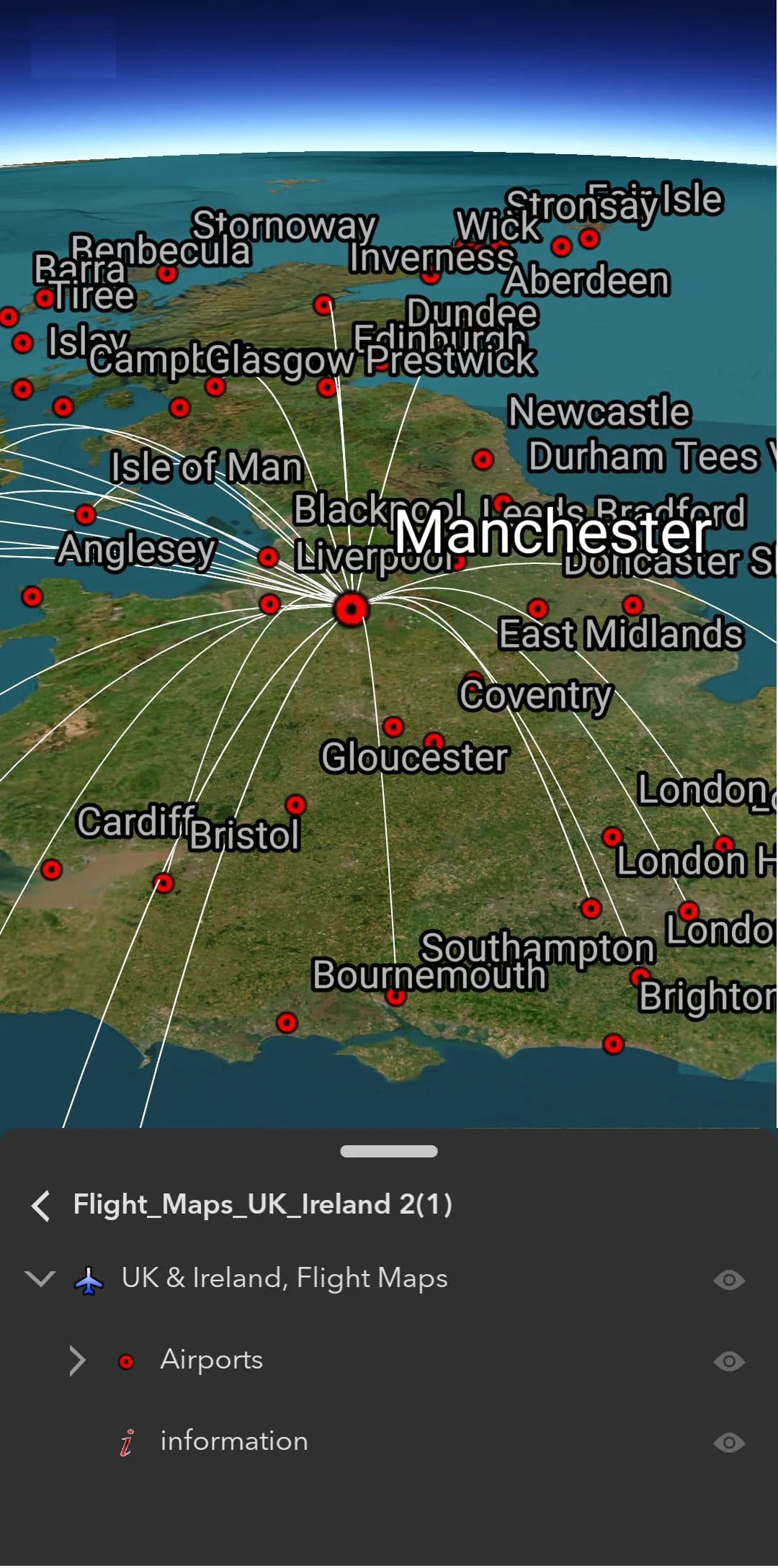
One of the key features of ArcGIS Earth is its ability to support a variety of data sources. Users can browse web scenes, map services, image services, scene services, and feature services. They can also browse local files, including mobile scene packages, KML, KMZ, tile packages, and scene layer packages. Support has also been added for Living Atlas of the World, providing users with access to a wealth of geographic information.
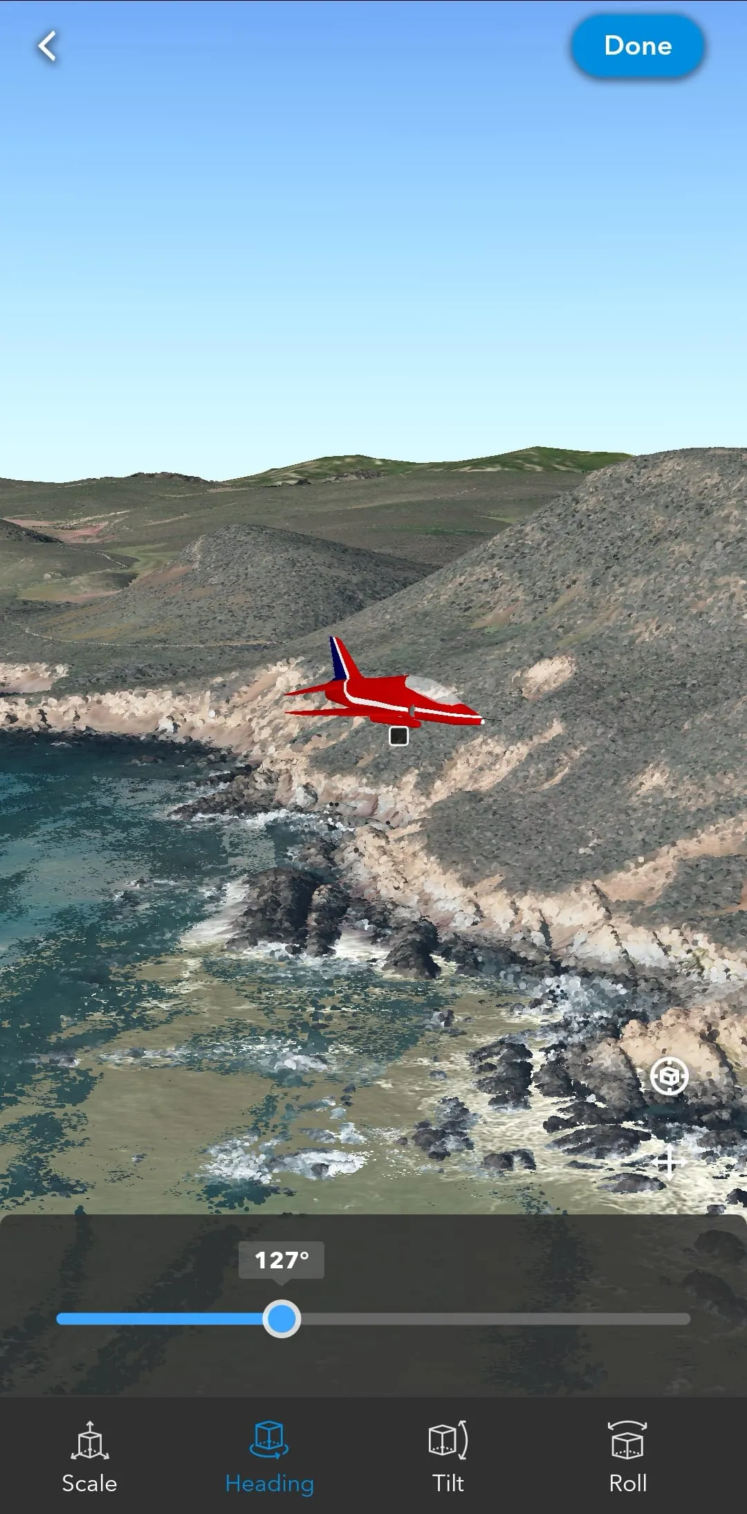
In addition to its data support, ArcGIS Earth offers a range of interactive analysis tools. These include Measure, Line of Sight, and Viewshed, which allow users to perform measurements and analysis on their data. The application also allows users to create and share tours with geotagged photos, search for places, and switch locators. Start-up tips and guidance for hand gestures are included, making it easy for users to get started with the application. Finally, users can record and preview GPS tracks and share them with their organization.
Overall, ArcGIS Earth is a powerful and flexible application that provides users with access to a wide range of data sources and analysis tools. Its user-friendly interface and consistent experience across desktop and mobile environments make it a valuable tool for a wide range of users.
ArcGIS Earth is a native application that is available on iOS, Android, and Windows platforms. It provides users with access to content, tools, and analysis, whether they are online or offline. The application is designed to be user-friendly and provides a consistent experience across desktop and mobile environments. It is also adaptable to many collaborative scenarios, making it a valuable tool for a wide range of users.
One of the key features of ArcGIS Earth is its ability to support a variety of data sources. Users can browse web scenes, map services, image services, scene services, and feature services. They can also browse local files, including mobile scene packages, KML, KMZ, tile packages, and scene layer packages. Support has also been added for Living Atlas of the World, providing users with access to a wealth of geographic information.
In addition to its data support, ArcGIS Earth offers a range of interactive analysis tools. These include Measure, Line of Sight, and Viewshed, which allow users to perform measurements and analysis on their data. The application also allows users to create and share tours with geotagged photos, search for places, and switch locators. Start-up tips and guidance for hand gestures are included, making it easy for users to get started with the application. Finally, users can record and preview GPS tracks and share them with their organization.
Overall, ArcGIS Earth is a powerful and flexible application that provides users with access to a wide range of data sources and analysis tools. Its user-friendly interface and consistent experience across desktop and mobile environments make it a valuable tool for a wide range of users.


 3.90
3.90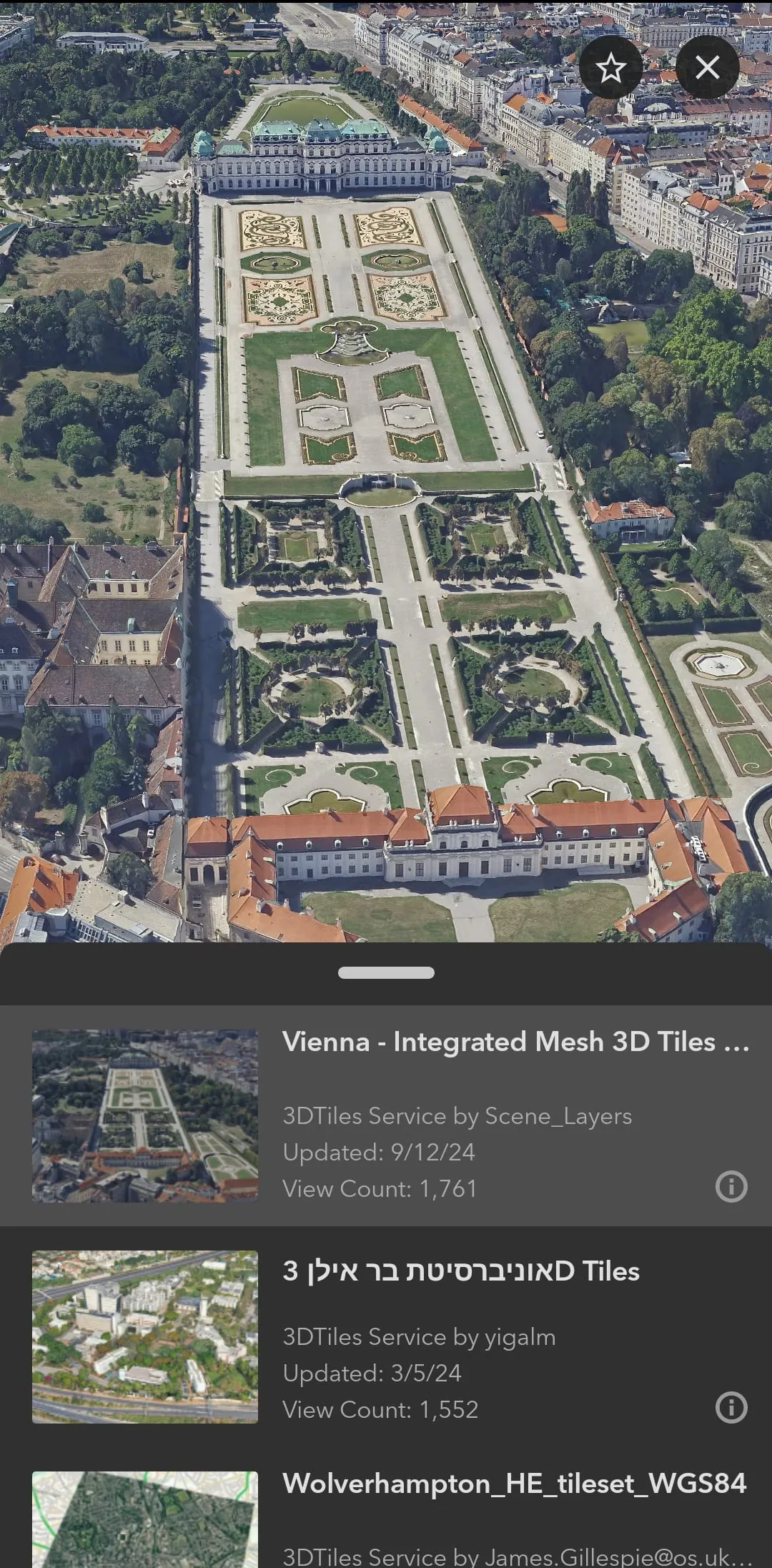

 Download


