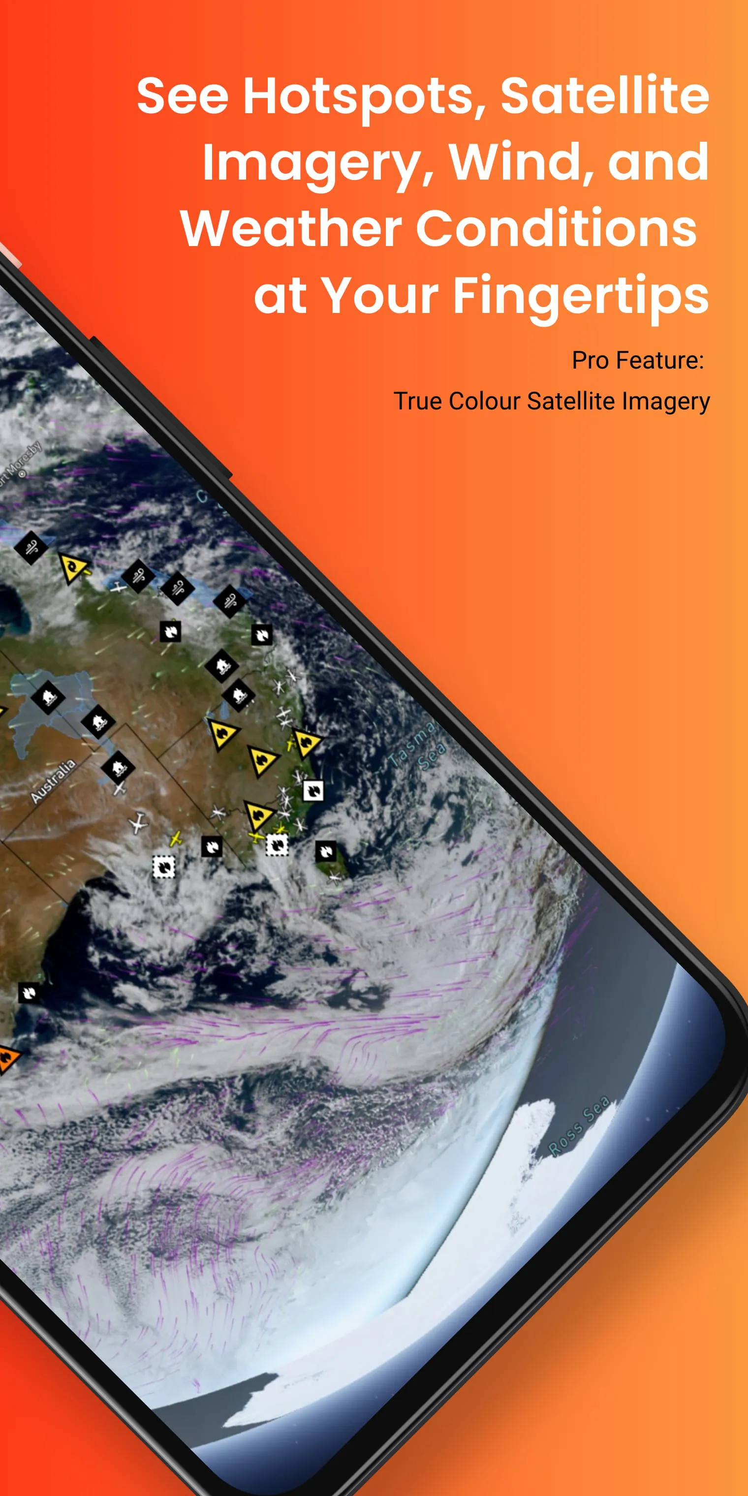
Bushfire.io is a platform that consolidates data from multiple sources to provide a comprehensive overview of fire-related information in Australia. This includes data on fire events, fire hotspots, road closures, weather conditions, and other critical bushfire information. By integrating information from various feeds, Bushfire.io offers a national view of bushfire warnings and fire incidents, as well as detailed incident information for specific regions such as NSW, VIC, WA, and ACT. The platform also provides data on closed or hazardous roads, recently burnt areas in VIC, QLD, and TAS, near-real-time weather observations from the Bureau of Meteorology, wind forecasts from NOAA, information on major fire aircraft, and hotspots detected by NASA satellites.
By consolidating data from multiple sources, Bushfire.io offers a comprehensive and up-to-date view of bushfire-related information in Australia. Users can access a national view of bushfire warnings and fire incidents, allowing them to stay informed about the current fire situation across the country. The platform also provides detailed incident information for specific regions, enabling users to obtain more specific and localized information about fires in areas such as NSW, VIC, WA, and ACT. Additionally, Bushfire.io offers data on closed or hazardous roads, which is crucial for ensuring the safety of individuals traveling in affected areas. The platform also provides information on recently burnt areas, allowing users to track the extent and impact of fires in VIC, QLD, and TAS. Furthermore, Bushfire.io offers near-real-time weather observations from the Bureau of Meteorology, providing users with valuable information about weather conditions that can influence fire behavior. The platform also includes wind forecasts from NOAA, which can help users anticipate the direction and intensity of fires. Additionally, Bushfire.io provides information on major fire aircraft, enabling users to track the deployment of resources for fire suppression efforts. Finally, the platform offers data on hotspots detected by NASA satellites, allowing users to identify areas of intense heat and potential fire activity.


 3.00
3.00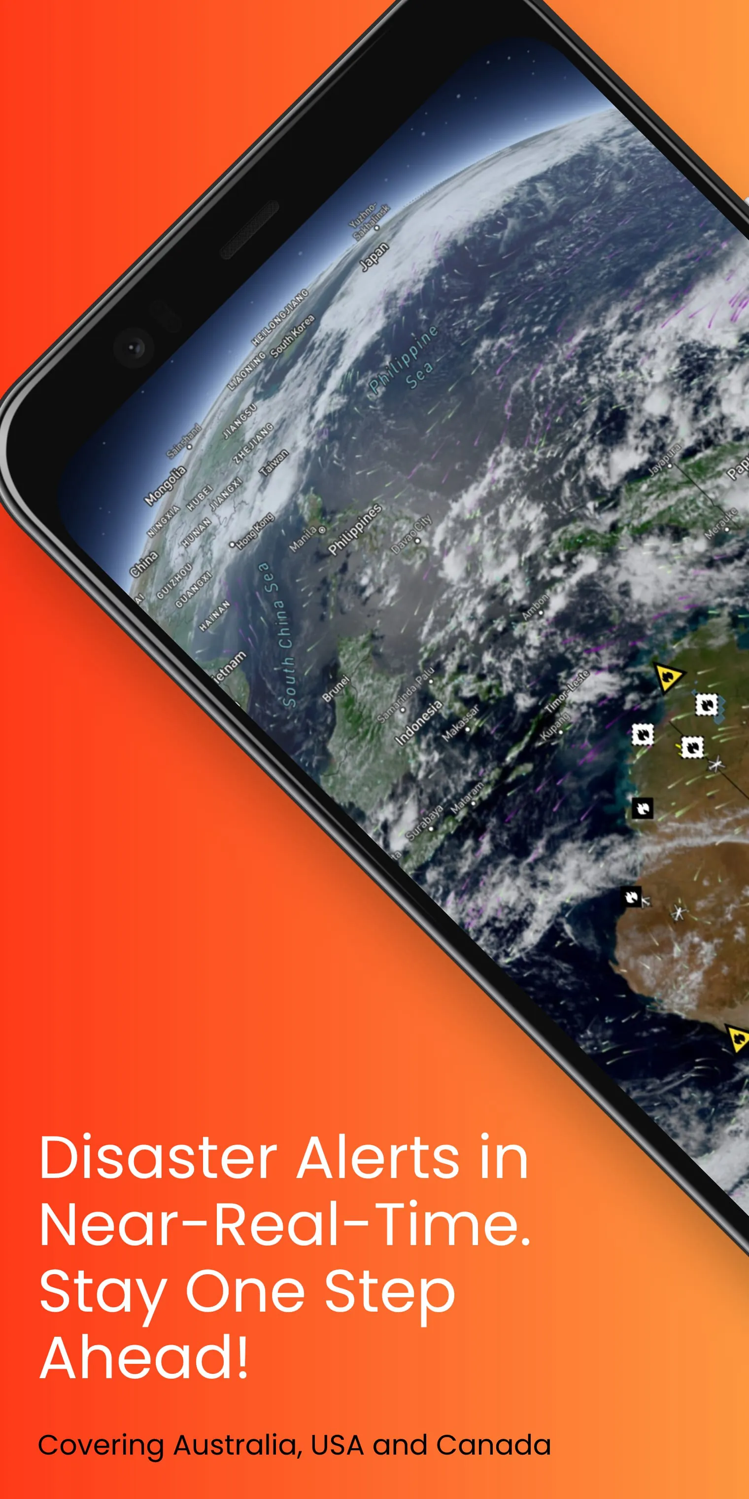
 Download


